Back

APPLICATIONS

Surveying & Mapping


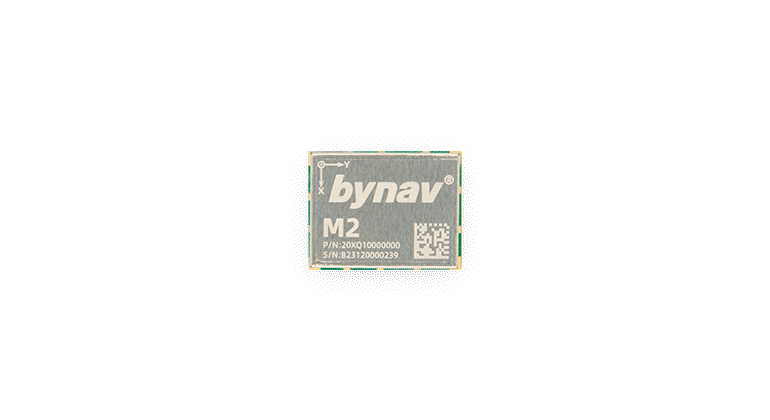
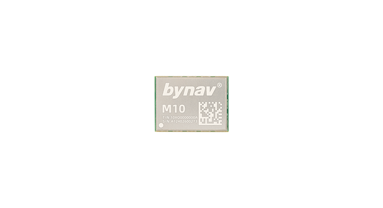
The Bynav full-constellation and full-frequency GNSS RTK module is ideal for land surveying, environmental monitoring, 3D mapping and modeling and other surveying and mapping applications. Also, they can function as a CORS or a portable RTK base station.


For Autonomous L4
Key Features

Full-constellation and full-frequency L1L2L5, support PPP and PPP-RTK

BDS-2:B1I, B2I, B3I

BDS-3:B1I, B1C*, B2a, B2b(PPP)*, B3I

GPS:L1 C/A, L1C*, L2, L5

GLONASS:G1, G2

GALILEO:E1, E5a, E5b, E6(HAS)*

QZSS:L1 C/A, L1C, L2, L5, L6(CLAS)*

NavIC*:L5

SBAS*:L1 C/A

L-Band* : 1525~1559 MHz

*It requires customized firmware to support for specific product.

Support Galileo E6 HAS, QZSS L6 CLAS, Beidou B2b

Galileo E6 HAS (High Accuracy Service) leverages a dedicated frequency band for high accuracy in satellite navigation, ideal for pinpoint precision in autonomous vehicles, agriculture, and infrastructure monitoring.

QZSS L6 CLAS, Japan's centimeter-level augmentation service, enhances urban positioning reliability and accuracy, supporting disaster response, urban planning, and advanced driver assistance.

Beidou B2b, from China, offers robust positioning and timing services with enhanced signal strength, suitable for challenging environments and critical synchronization in telecom networks.

Jam detection and anti-jaming

In the face of increasing electromagnetic interference, our product is designed with cutting-edge jam detection and anti-jamming capabilities. It actively monitors the spectrum for the signs of jamming. Once detected, our system employs sophisticated anti-jamming techniques to mitigate these disruptions, ensuring continuous, reliable communication and operation.

Need help?

Just leave a message. We're happy to hear from you.

Please submit your email address to access support documents.